
The most consequential public-works proposal to impact Dorchester’s coastline since Morrissey Boulevard was built in the 1920s is now before the public for review and comment. As we outlined in a front-page story last week, the US Army Corps of Engineers’ draft of its Coastal Storm Risk Management Study proposes an extensive network of levees, walls, floodgates, and elevated Harborwalk sections along Dorchester Bay.
The full 570-page report was made public last Friday. Residents, stakeholders, and policy leaders here in Dorchester should study it carefully—and speak up before a comment period closes at on Sept. 18.
For Dorchester, the proposed fixes include new barriers along the Morrissey Boulevard corridor, Patten’s Cove, Tenean Beach, Pope John Paul II Park, the Neponset River, and the area around Moakley Park and Day Boulevard.
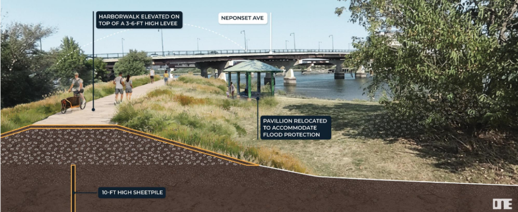
Some sections could become landscaped levees with elevated paths and other amenities on top. Other fixes might come in the form of conventional floodwalls, roadway changes, or structures extending into the water to control flood pathways that might converge in big storm events and swamp homes, businesses, and transit hubs like the Red Line.
The Dorchester-specific section of the Army Corps report characterizes our neighborhood as an essential, strategically important area to protect. It is, the authors note, “a city within a city” with a large residential population that will be increasingly vulnerable to inundation and losses in a major storm. It also concludes that protecting it will be “relatively inexpensive compared to other neighborhoods”— roughly $500 million in 2028 dollars by one calculation in the report.
The overall Boston price tag ranges from $9 billion to $10.5 billion to include improvements in Dorchester, South Boston, Downtown and the North End, Charlestown, and East Boston. The Army Corps estimates that, without action, Boston could sustain more than $54 billion in flood-related losses through the end of the century caused by rising sea levels and flooding during storm events.
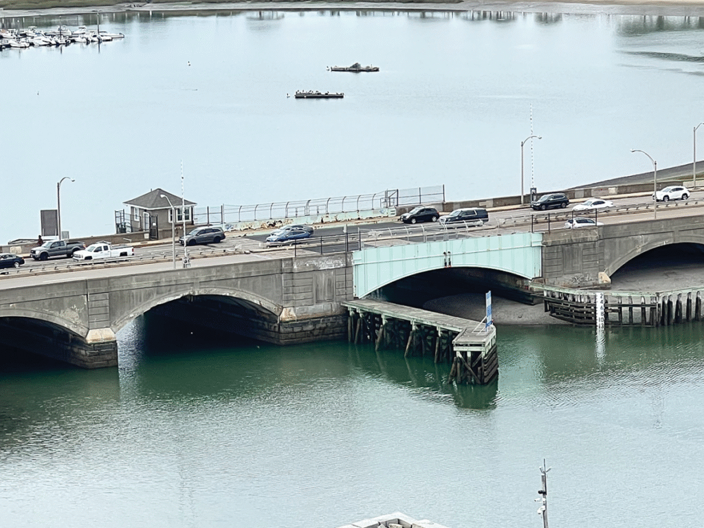
How might this report be coordinated with a state-driven plan to modernize Morrissey Boulevard, including the Beades Bridge and Kosciuszko Circle? It’s a great question and one that we expect will be a common part of our community’s feedback to this report. The Army Engineers, the state’s roadway planners, and the city’s climate office should be talking to one another and coordinating their timelines and budgets with elected leaders in the room, too.
Moving a project of this scale from a report to construction will require sustained political will and vocal leadership for the next decade or two, at minimum. Who will take that on?
How to pay for all of these projects is another big question. The Army Corps report suggests that the federal government will be responsible for as much as 65 percent of the basic flood-protection system built in Boston. But Congress has not yet authorized or appropriated that money. And no firm plan exists for covering the remaining 35 percent from the local side. Nor does the Army Corps estimate include money to pay for parks and other amenities Boston hopes to build alongside the barriers.
The city of Boston has prepared a public-comment worksheet that asks residents to identify the areas that concern them and weigh in on how specific changes or outcomes might impact their immediate neighborhood. The full Army Corps draft report and related resources and the city’s study overview are available online.
Decisions made during the next two years could shape the city’s waterfront for generations. Let’s get focused on this and urge our elected leaders to leverage this opportunity to make long-delayed improvements to our transportation and waterfront access.
